Aerial survey
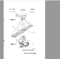
Well, kiddo, an aerial survey is like taking a big picture of the Earth from the sky!
Just like how you take a picture of your friends or family, we take pictures of the land, buildings, and even mountains from high up in the air.
But, how do we take these pictures? We use special cameras that are attached to planes or helicopters. These cameras take lots of pictures one after the other, just like when you click the button on your phone to take a bunch of pictures at a time.
The people who take these pictures are called surveyors. They use these pictures to help make maps and measure different things on the Earth.
For example, they can use these pictures to see the size of a city, how much crops are growing in a field, or even how much water is in a lake!
Aerial surveys are very helpful because they can show us things that we can't see on the ground. Plus, they make it easier and faster to measure big areas of land that would take a long time to do by foot or car.
So, that's what an aerial survey is, it's like taking a really big picture of the Earth from high up in the sky to learn more about our world!
Related topics others have asked about: