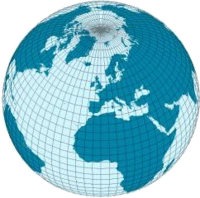
Geospatial network

A geospatial network is a special kind of map that shows how different places are connected to each other. Just like how you might draw a map of your room that shows where your bed, toy bin, and bookshelf are, a geospatial network shows where different cities, towns, and other locations are in relation to each other. But instead of just showing where everything is, it also shows how they are connected by things like roads, highways, and other routes.
Imagine you have a toy train set where you can connect train tracks together to make a big loop. Each track connects to other tracks and helps the trains move from one place to another. A geospatial network is kind of like that, but instead of train tracks, it shows how different places are connected by things like roads, sidewalks, rivers, and other transportation routes.
This type of map can be really helpful for all kinds of things, like planning where to build new roads or where to put stores and restaurants so people can easily get to them. It can also be used to help emergency responders quickly find the best route to get to someone who needs help. So, just like your toy train set, a geospatial network helps people move from place to place and get things done!
Related topics others have asked about:
