Geospatial intelligence
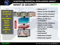
Geospatial intelligence is when someone looks at pictures of Earth from a satellite to figure out things about the land on Earth. For example, geospatial intelligence can be used to figure out where people live, what roads connect to each other, and where farms are located. It's like a computer showing a map of the world, but with special information added that only people with the right technology can find.
Related topics others have asked about: