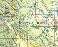
Maximum elevation figure

Okay kiddo, imagine you are looking at a map of a place with lots of mountains and hills. The highest point on the map is called the maximum elevation figure. It's like if you were in a race and you wanted to see how high you could climb, the maximum elevation figure would be the highest point that you could reach. Just like how you can measure how tall you are, you can measure how tall a mountain or hill is by looking at the maximum elevation figure on a map. It's like a trophy for being the tallest!
Related topics others have asked about:
