Altimetry

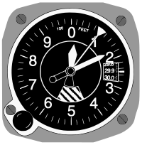
Altimetry is a way of measuring the height of something (like a mountain or a hill) in relation to the sea level. To do this, scientists use a very special tool – a satellite! A satellite is a big machine that orbits around our planet and takes pictures from outer space. The satellite sends the pictures to scientists on Earth, who then use those pictures to figure out how tall the mountain or hill is. The higher something is, the higher it is compared to sea level – and that's how altimetry helps us measure heights!
Related topics others have asked about:
