Cadastral map
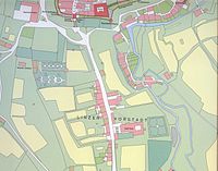
A cadastral map is a map that shows boundaries of places, such as cities, neighborhoods, and land. It is like a map that shows the boundaries of where each area begins and ends. This way, it is easy to know if you have gone too far in one area and have gone into another. Cadastral maps are also used for other things, like measuring property boundaries and keeping track of who owns what land.
Related topics others have asked about: