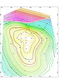
Digital geologic mapping

Digital geologic mapping is the use of computers and special software to create maps of the rocks and other materials that lie beneath the Earth's surface. This type of mapping helps scientists better understand things like earthquakes, volcanoes and changes in the Earth's crust. To make a digital geologic map, scientists use a combination of photos, radar, and satellite images to create a map of the Earth's surface. They also use data from old maps, rock samples and soil samples to help create a three-dimensional map of the Earth's surface. These maps help scientists study geology and how the Earth's surface can change over time.
