Remote sensing

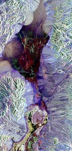
Remote sensing is a way to learn information about something without actually going there. It's sort of like having superpowers that let you see things without being there. Scientists use satellites, planes, and drones that take pictures of the Earth. They use special tools and technologies like cameras, heat detectors, and lasers to scan things on the ground. Then, they can use the pictures to study things like climate change, pollution, and weather patterns. It's a cool way for scientists to learn about the world without having to leave their labs!
Related topics others have asked about:
