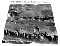
Digital terrain model

A digital terrain model (DTM) is a 3D map of an area of land or sea that shows the heights of mountains, hills, valleys and other features. It does this by using satellites to measure and capture the shapes of the land. This data is then stored in a computer so it can be used in a variety of ways. For example, it can be used to make 3D models of terrain or to plan pathways for roads and other developments.
Related topics others have asked about:
